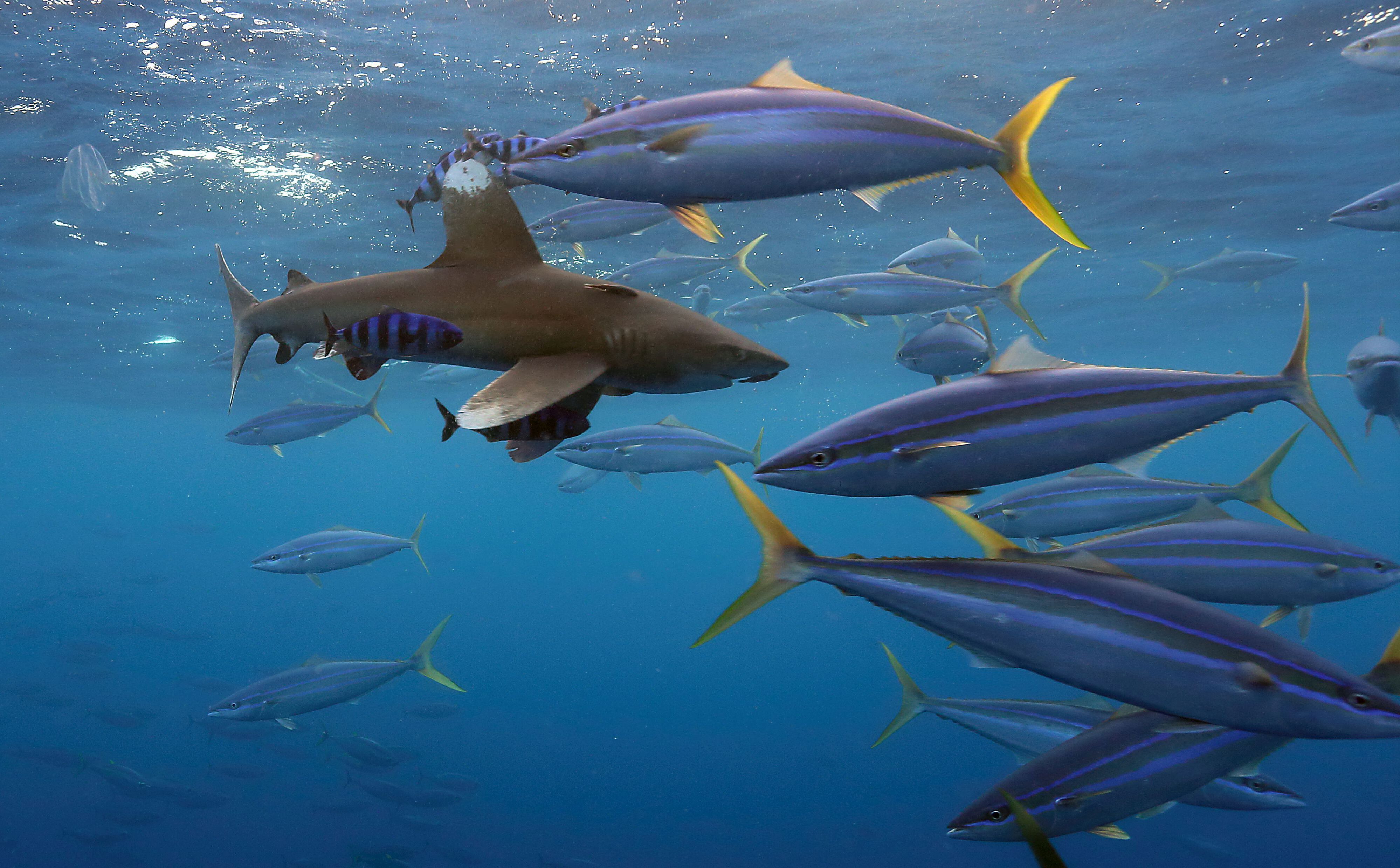
An integrated technology that enables management, analysis, and mapping of geographical information. In the fishery context, possible GIS applications are countless — as for example tracking foraging and migratory patterns of marine species, monitoring fishing vessel activities, analyzing fishing catch and effort, evaluating and planning management strategies, delimiting marine protected areas, etc.
- About
ISSF - Fishery Goals
& Resources - Vessel & Company
Commitments - Research, Advocacy,
& Recommendations - Tuna Stocks &
Management
